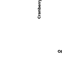
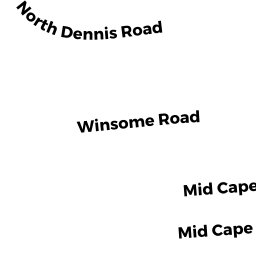
76 NORTH DENNIS RD
Owner Information
KAZAZIAN PIERRE
10 LINDEN ST
FRAMINGHAM, MA 01702


Property Details
76 NORTH DENNIS RD is classified as a Single Family Residential (Rr/split).
The primary structure on this property was built in 1975. There are 2,492ft2 of built area within this property. There is 1,244ft2 of residential/living space within this property.
76 NORTH DENNIS RD is valued at $364,500. The land is valued at $139,200 and the structures are valued at $224,300. There is an additional valuation of $1,000 on this property.
The most recent deed for 76 NORTH DENNIS RD is recorded at the local registrar in Book 31800, Page 133. 76 NORTH DENNIS RD was last sold on Friday, January 25, 2019 for $310,000.
Assessment data from fiscal year 2022.
Flood Data
According to the FEMA National Flood Hazard Layer, this property does not appear to be in a flood zone. It may also be in an area not yet reviewed. Nonetheless, confirm this information prior to taking any action.
To view the flood hazards around this property, create a FEMA "Firmette" Map of the area around 76 NORTH DENNIS RD.
Broadband Internet Providers
| Provider | Type | Bandwidth (mbps) | |
|---|---|---|---|
| Viasat Inc | Satellite | 35 | 3 |
| VSAT Systems, LLC. | Satellite | 2 | 1 |
| HughesNet | Satellite | 25 | 3 |
| GCI Communication Corp. | Satellite | 0 | 0 |
| T-Mobile | Fixed Wireless | 25 | 3 |
| Comcast | Cable | 1000 | 35 |
| Verizon New England Inc. | DSL | 5 | 0 |
Broadband service provider data from December 2020.
Adjacent Properties
- 33 CRANBERRY LN
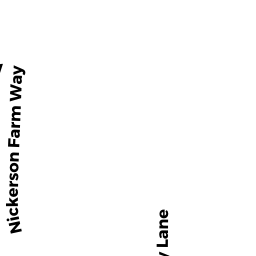
Single Family Residential owned by MUSE WILLIAM C - 4 NICKERSON FARM WAY
Single Family Residential owned by RIKER ADAM - 9 FLAT ROCK WAY
Single Family Residential owned by RIKER ADAM R - 1 FLAT ROCK WAY
Single Family Residential owned by RODERICK ADAM - 64 NORTH DENNIS RD
Single Family Residential owned by DAVENPORT DEWITT P TR - 25 CRANBERRY LN
Single Family Residential owned by DAVENPORT DEWITT TR - 29 CRANBERRY LN
Single Family Residential owned by CARROLL RICHARD B